Evaluating Advanced Navigation Systems for Unmanned Aerial Vehicles
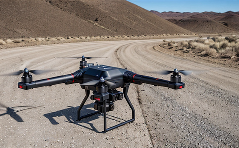
Unmanned Aerial Vehicles (UAVs) have become increasingly popular in various fields such as agriculture, construction, surveillance, and cargo transport. As the demand for UAVs grows, so does the need for advanced navigation systems that can enable safe and efficient flight operations. Advanced navigation systems are crucial for ensuring that UAVs can navigate through complex environments, avoid obstacles, and reach their destinations on time.
There are several types of advanced navigation systems available for UAVs, including GPS-based navigation, inertial measurement unit (IMU) based navigation, vision-based navigation, and sensor fusion-based navigation. Each type of system has its own strengths and weaknesses, and the choice of which system to use depends on the specific requirements of the mission.
GPS-Based Navigation
GPS-based navigation systems are widely used in UAVs due to their high accuracy and low cost. GPS uses a network of satellites orbiting the Earth to provide location information to the UAV. However, GPS has some limitations, including signal loss in areas with heavy tree cover or tall buildings, multipath signals, and interference from other electronic devices.
GPS-based navigation systems typically consist of a GPS receiver that provides the UAVs position, velocity, and attitude (orientation). The receiver uses a combination of code phase measurements and carrier phase measurements to determine its location. The accuracy of GPS-based navigation can be improved by using differential GPS (DGPS), which combines signals from multiple GPS satellites with signals from nearby reference stations.
Inertial Measurement Unit (IMU) Based Navigation
IMU-based navigation systems use a combination of accelerometers, gyroscopes, and magnetometers to determine the UAVs position, velocity, and attitude. IMUs are typically used in conjunction with GPS to improve accuracy during periods of signal loss or interference. IMUs are less accurate than GPS but can provide higher update rates, making them suitable for high-speed applications.
IMU-based navigation systems have several advantages over GPS-based systems, including:
Higher update rates: IMUs can provide updates at frequencies up to 100 Hz, compared to the 1-10 Hz update rate of GPS.
Improved accuracy in dynamic environments: IMUs are less affected by signal loss or interference and can maintain accurate navigation during periods of high speed or rapid changes in direction.
Reduced latency: IMU-based systems can reduce latency compared to GPS-based systems, which can be beneficial for applications requiring real-time control.
Vision-Based Navigation
Vision-based navigation systems use cameras and computer vision algorithms to determine the UAVs position and orientation. These systems rely on visual features such as edges, corners, or lines to estimate the UAVs pose (position and orientation). Vision-based navigation has several advantages over GPS and IMU-based systems, including:
High accuracy in complex environments: Vision-based systems can navigate through areas with limited or no GPS signal coverage, making them suitable for applications such as indoor mapping and surveillance.
Robustness to interference: Vision-based systems are less affected by electromagnetic interference (EMI) and other types of electronic noise that can affect GPS and IMU-based systems.
Flexibility in sensor configuration: Vision-based systems can use a variety of camera configurations, including monocular, stereo, or multi-camera setups.
Sensor Fusion-Based Navigation
Sensor fusion-based navigation systems combine data from multiple sensors to estimate the UAVs position, velocity, and attitude. These systems typically use a combination of GPS, IMU, and vision sensors to provide accurate navigation in various environments.
Sensor fusion-based navigation has several advantages over other types of systems, including:
Improved accuracy: Sensor fusion can improve accuracy by combining data from multiple sensors with different strengths and weaknesses.
Increased robustness: Sensor fusion can reduce the impact of sensor failures or interference by using redundant information from other sensors.
Flexibility in sensor configuration: Sensor fusion-based systems can use a variety of sensor configurations, including GPS, IMU, vision, lidar, radar, and more.
QA Section
Q: What are the advantages of using advanced navigation systems for UAVs?
A: Advanced navigation systems offer several benefits, including improved accuracy, increased robustness to interference, and flexibility in sensor configuration. They can also provide higher update rates and reduced latency compared to traditional GPS-based systems.
Q: Can vision-based navigation systems be used in areas with limited or no GPS signal coverage?
A: Yes, vision-based navigation systems are suitable for applications such as indoor mapping and surveillance where GPS signals may not be available.
Q: How do sensor fusion-based navigation systems improve accuracy?
A: Sensor fusion combines data from multiple sensors to provide a more accurate estimate of the UAVs position, velocity, and attitude. This is achieved by leveraging the strengths of each individual sensor while mitigating their weaknesses.
Q: What are some potential challenges associated with implementing advanced navigation systems in UAVs?
A: Some potential challenges include ensuring that the system can handle high-speed or rapid changes in direction, integrating multiple sensors from different vendors, and calibrating the system to account for variations in environmental conditions.
Q: Can IMU-based navigation systems be used for long-duration flights?
A: Yes, IMU-based systems are suitable for long-duration flights where GPS signal loss or interference is a concern. However, they may require periodic calibration to maintain accurate navigation.
Q: How do advanced navigation systems affect the overall cost of UAVs?
A: The cost of advanced navigation systems can vary widely depending on the specific technology used and the level of integration with other components. In some cases, these systems may add significant expense, but in others they may provide a net benefit by reducing costs associated with traditional GPS-based systems.
Q: Can advanced navigation systems be integrated into existing UAV platforms?
A: Yes, many advanced navigation systems are designed to be modular and can be integrated into existing UAV platforms. This makes it possible to upgrade or retrofit older systems with more modern technology.
In conclusion, evaluating advanced navigation systems for UAVs requires a careful consideration of the specific requirements of each mission. Each type of system has its own strengths and weaknesses, and the choice of which system to use depends on factors such as accuracy, update rate, and robustness to interference. By understanding the benefits and limitations of each technology, operators can select the most suitable navigation system for their needs.