Evaluating Changes in Land Use Due to Development Projects
Introduction
Land use changes are a common phenomenon associated with development projects. These changes can have significant impacts on the environment, local communities, and the economy. Evaluating these changes is crucial for understanding their effects and making informed decisions about future development plans. This article will discuss the importance of evaluating land use changes due to development projects, methods for conducting such evaluations, and provide a detailed analysis of two specific case studies.
Why Evaluate Land Use Changes?
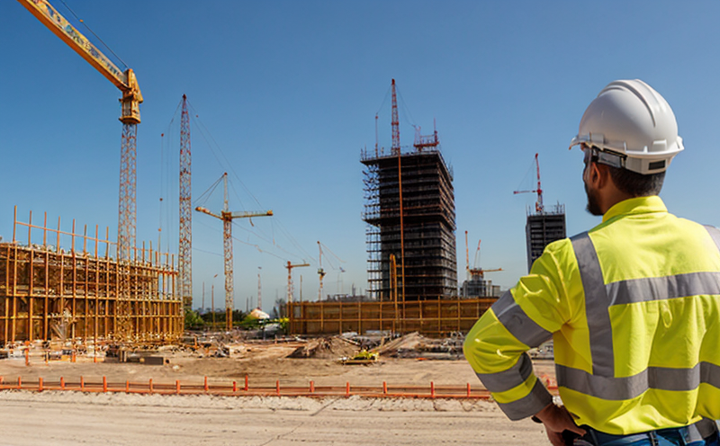
Land use changes can be caused by various factors, including urbanization, infrastructure development, agriculture expansion, or mining activities. These changes can lead to the conversion of natural habitats into built-up areas, resulting in habitat loss, fragmentation, and degradation. Moreover, land use changes can also have significant social impacts, such as displacement of local communities, cultural heritage loss, and economic instability.
Evaluating these changes is essential for several reasons:
Identifying the causes and effects of land use changes: Understanding the factors driving land use changes and their consequences on the environment and society helps in developing effective management strategies.
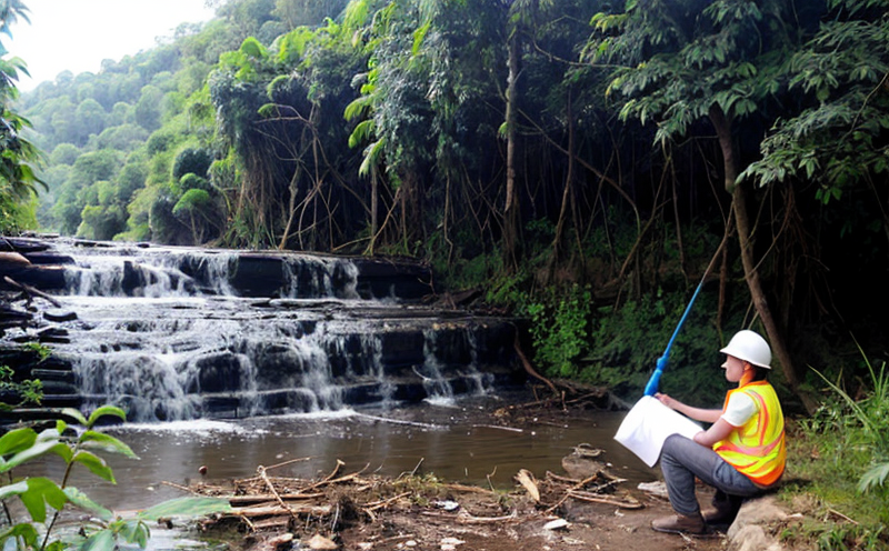
Assessing environmental impacts: Evaluations can determine the extent of habitat loss, water pollution, or soil degradation resulting from development projects.
Informing policy and decision-making: Data from evaluations can inform policy decisions about land use planning, zoning regulations, and infrastructure development.
Methods for Evaluating Land Use Changes
Several methods are used to evaluate changes in land use due to development projects. Some of these include:
Remote Sensing (RS) and Geographic Information Systems (GIS): These technologies enable the analysis of satellite imagery and spatial data to monitor land cover changes over time.
Surveys and Interviews: Gathering information from local communities, stakeholders, and experts provides valuable insights into social impacts and perceptions of change.
Economic Impact Assessments: Evaluating the economic benefits and costs associated with development projects helps in understanding their overall impact on the economy.
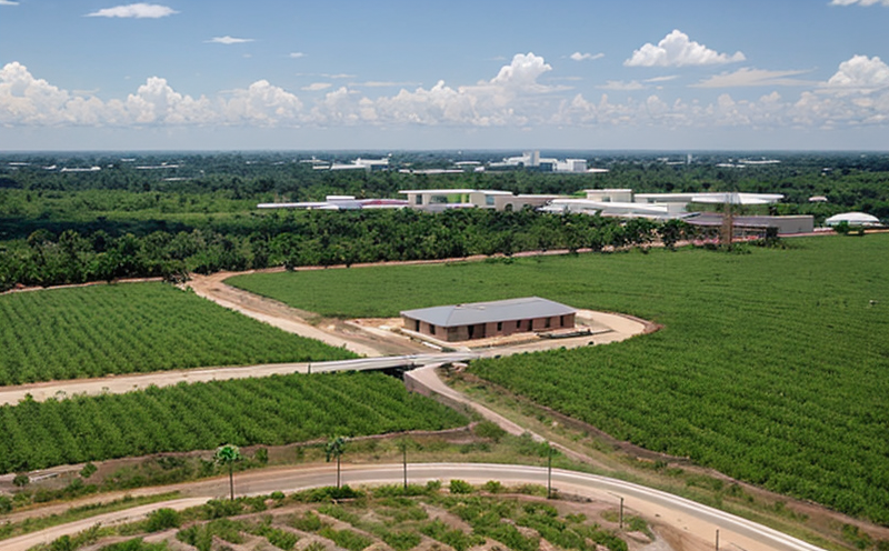
Case Study 1: Urbanization and Habitat Loss
A recent urban expansion project in a rapidly growing city resulted in the conversion of natural habitats into built-up areas. The following bullet points highlight some key findings from this case study:
Habitat loss: The development project led to the destruction of approximately 20 of the citys remaining natural habitats, including forests and wetlands.
Biodiversity impacts: The loss of habitats resulted in a decline of local wildlife populations, including threatened and endangered species.
Social impacts: Local communities were displaced due to the construction of new infrastructure, leading to cultural heritage loss and economic instability.
Case Study 2: Agricultural Expansion and Water Pollution
A large-scale agricultural development project was implemented to increase crop yields and food production. However, this project led to significant water pollution due to the use of chemical fertilizers and pesticides:
Water quality impacts: The increased use of chemicals in agriculture resulted in a significant decrease in water quality, affecting both surface and groundwater sources.
Soil degradation: Intensive farming practices led to soil erosion and nutrient depletion, reducing agricultural productivity over time.
QA
Q: What are the most common land use changes associated with development projects?
A: The most common land use changes associated with development projects include urbanization, habitat loss, water pollution, and soil degradation. These changes can have significant environmental, social, and economic impacts.
Q: How do remote sensing (RS) and geographic information systems (GIS) contribute to evaluating land use changes?
A: RS and GIS enable the analysis of satellite imagery and spatial data to monitor land cover changes over time. This technology helps in identifying patterns and trends in land use change and assessing the extent of habitat loss or water pollution.
Q: What are some key factors to consider when conducting an economic impact assessment for a development project?
A: When conducting an economic impact assessment, it is essential to consider both the benefits (e.g., job creation, increased tax revenue) and costs (e.g., infrastructure costs, environmental degradation) associated with the development project.
Q: How can local communities be involved in evaluating land use changes due to development projects?
A: Local communities can be involved through surveys, interviews, and public participation processes. This helps in gathering information about social impacts and perceptions of change, which can inform decision-making and policy development.
Q: What are some strategies for mitigating the negative impacts of land use changes due to development projects?
A: Strategies for mitigating the negative impacts of land use changes include implementing sustainable land-use planning practices, adopting environmentally friendly technologies, and engaging local communities in the decision-making process.