Eurolab
-
Aviation and Aerospace Testing-
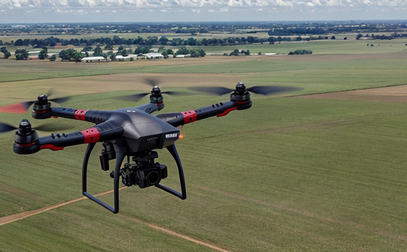
Unmanned Aerial Vehicle (UAV) Testing-
Simulating UAV Performance in No-Fly Zones
We provide comprehensive solutions designed to help our clients mitigate risks, enhance performance, and excel in key areas such as quality, health & safety, environmental sustainability, and social responsibility.
Discover
For many years, our organization has been operating successfully, boasting modern laboratories that meet international standards. These laboratories are equipped with the latest technology devices and equipment, and we have built a strong team of experienced and trained personnel to operate them.
DiscoverWelcome to Eurolab, your partner in pioneering solutions that encompass every facet of life. We are committed to delivering comprehensive Assurance, Testing, Inspection, and Certification services, empowering our global clientele with the ultimate confidence in their products and processes.
Discover
-
Aviation and Aerospace Testing-
Unmanned Aerial Vehicle (UAV) Testing-
Simulating UAV Performance in No-Fly ZonesSimulating UAV Performance in No-Fly Zones: A Comprehensive Guide
Unmanned Aerial Vehicles (UAVs) have revolutionized various industries, including surveillance, inspection, agriculture, and transportation. However, with the increasing use of UAVs comes the challenge of navigating restricted airspace, particularly in no-fly zones. These areas are designated for safety reasons, such as military bases, airports, or sensitive government facilities, and unauthorized flight can result in severe consequences.
Simulating UAV performance in no-fly zones is crucial to ensure that UAVs can operate safely and efficiently within these restricted areas. This involves understanding the dynamics of UAV movement, taking into account various environmental factors, and predicting potential hazards.
Understanding No-Fly Zones
No-fly zones are designated areas where flight operations are prohibited due to safety concerns. These zones can be permanent or temporary, and they may be enforced by governments, military authorities, or other regulatory bodies. The primary goal of no-fly zones is to prevent unauthorized flight, which could pose a risk to national security, aviation safety, or public health.
Some common types of no-fly zones include:
Permanent No-Fly Zones: These are designated areas that have been permanently restricted due to ongoing operations, such as military bases or sensitive government facilities. Examples include the White House airspace in Washington D.C., Buckingham Palace airspace in London, and the Eiffel Tower airspace in Paris.
Temporary No-Fly Zones: These are designated areas where flight restrictions are temporarily enforced for specific events or activities, such as parades, festivals, or major sporting events. For example, during large-scale demonstrations or protests, no-fly zones may be established to prevent aerial surveillance or disruptions.
Proximity No-Fly Zones: These are areas surrounding sensitive infrastructure, such as airports, seaports, or industrial facilities. Flight restrictions in these areas aim to prevent accidents, collisions, or unauthorized access.
Simulating UAV Performance in No-Fly Zones
To ensure safe and efficient UAV operations within no-fly zones, it is essential to simulate the performance of your UAV under various conditions. This involves understanding the dynamics of UAV movement, taking into account environmental factors such as:
Wind Conditions: Wind can significantly impact UAV performance, particularly during landing or takeoff phases. Simulations should account for wind speeds and directions to predict potential hazards.
Obstacles and Hazards: No-fly zones often feature obstacles such as buildings, trees, or other aerial infrastructure that can pose a risk to UAV flight. Simulations should model these obstacles to identify potential risks and develop strategies for avoiding them.
Detailed Simulation Scenarios:
Consider the following simulation scenarios when testing your UAVs performance in no-fly zones:
Scenario 1: Flight within a No-Fly Zone
Assume your UAV is operating at an altitude of 100 meters above ground level (AGL) within a permanent no-fly zone.
Wind conditions: Moderate wind speeds (5-10 knots) from the east with gusts up to 20 knots.
Obstacles and hazards: A combination of tall buildings, trees, and communication towers are present in the area.
Task: Simulate the UAVs performance while navigating through a narrow alleyway between two tall buildings. Monitor for potential collisions or deviations from planned flight path.
Scenario 2: Flight near a Proximity No-Fly Zone
Assume your UAV is operating at an altitude of 50 meters AGL near a seaport.
Wind conditions: Light wind speeds (1-5 knots) from the west with no significant gusts.
Obstacles and hazards: Cranes, warehouses, and shipping containers are present in the area.
Task: Simulate the UAVs performance while hovering over a docked vessel to inspect cargo. Monitor for potential collisions or deviations from planned flight path.
QA Section
Q1: What are some common challenges when simulating UAV performance in no-fly zones?
A1: Some common challenges include understanding wind conditions, modeling obstacles and hazards, and predicting potential hazards such as turbulence or bird strikes.
Q2: How do I create a realistic simulation environment for my UAV?
A2: Create a detailed 3D model of the area, including buildings, trees, and other aerial infrastructure. Incorporate weather data and wind simulations to accurately model environmental conditions.
Q3: What are some best practices when testing my UAV in no-fly zones?
A3: Develop a thorough pre-flight plan that includes route planning, altitude determination, and communication protocols with air traffic control (if required). Ensure all crew members are aware of the simulated environment and possible hazards.
Q4: Can I use existing simulation software for simulating UAV performance in no-fly zones?
A4: While some commercial off-the-shelf (COTS) simulation software may be suitable for basic simulations, it is essential to choose a tool that can accurately model complex scenarios, including wind conditions and obstacles.
Q5: Are there any specific regulations or guidelines for simulating UAV performance in no-fly zones?
A5: Familiarize yourself with relevant regulatory bodies such as the Federal Aviation Administration (FAA) or European Aviation Safety Agency (EASA). Consult industry standards, best practices, and existing research to ensure your simulation is accurate and reliable.
Q6: Can I use real-world data for simulating UAV performance in no-fly zones?
A6: Yes, incorporating real-world data such as weather patterns, obstacle configurations, and historical flight paths can enhance the accuracy of your simulations. However, consider anonymizing or aggregating sensitive information to maintain confidentiality.
Q7: How do I ensure that my simulation is representative of actual UAV behavior?
A7: Develop a comprehensive testing plan that includes various scenarios, such as takeoff, landing, hovering, and maneuvering in wind conditions. Validate your results using real-world data and expert input from pilots or engineers.
Q8: Can I simulate specific events or activities within no-fly zones?
A8: Yes, you can simulate events like parades, festivals, or sporting events to model potential flight disruptions or hazards. This helps ensure that UAV operations are designed with these scenarios in mind.
Conclusion
Simulating UAV performance in no-fly zones is crucial for ensuring safe and efficient operations. By understanding the complexities of no-fly zones, developing realistic simulation environments, and following best practices, you can mitigate potential risks associated with unauthorized flight.

NEBS and Telecommunication Standards
Network Equipment Building System (NEBS) and Telecommunication Standards The Network Equipment Bu...
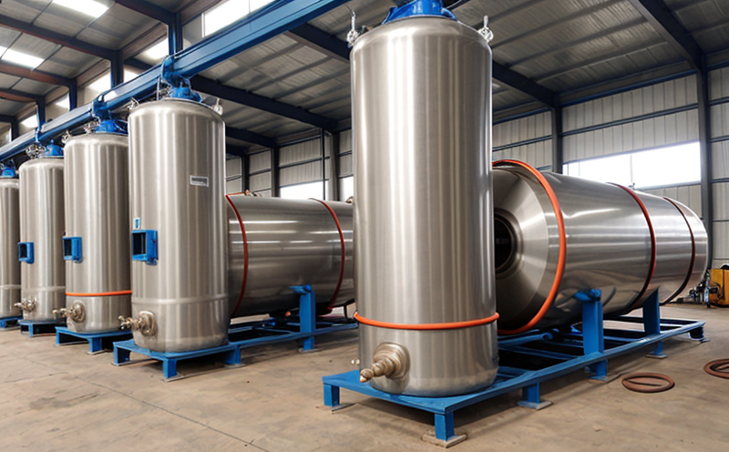
Pressure Vessels and Installations Testing
Pressure Vessels and Installations Testing Pressure vessels are a critical component of various ind...

IT and Data Center Certification
IT and Data Center Certification: Understanding the Importance and Benefits The field of Informatio...

Consumer Product Safety
Consumer Product Safety: Protecting Consumers from Harmful Products As a consumer, you have the rig...
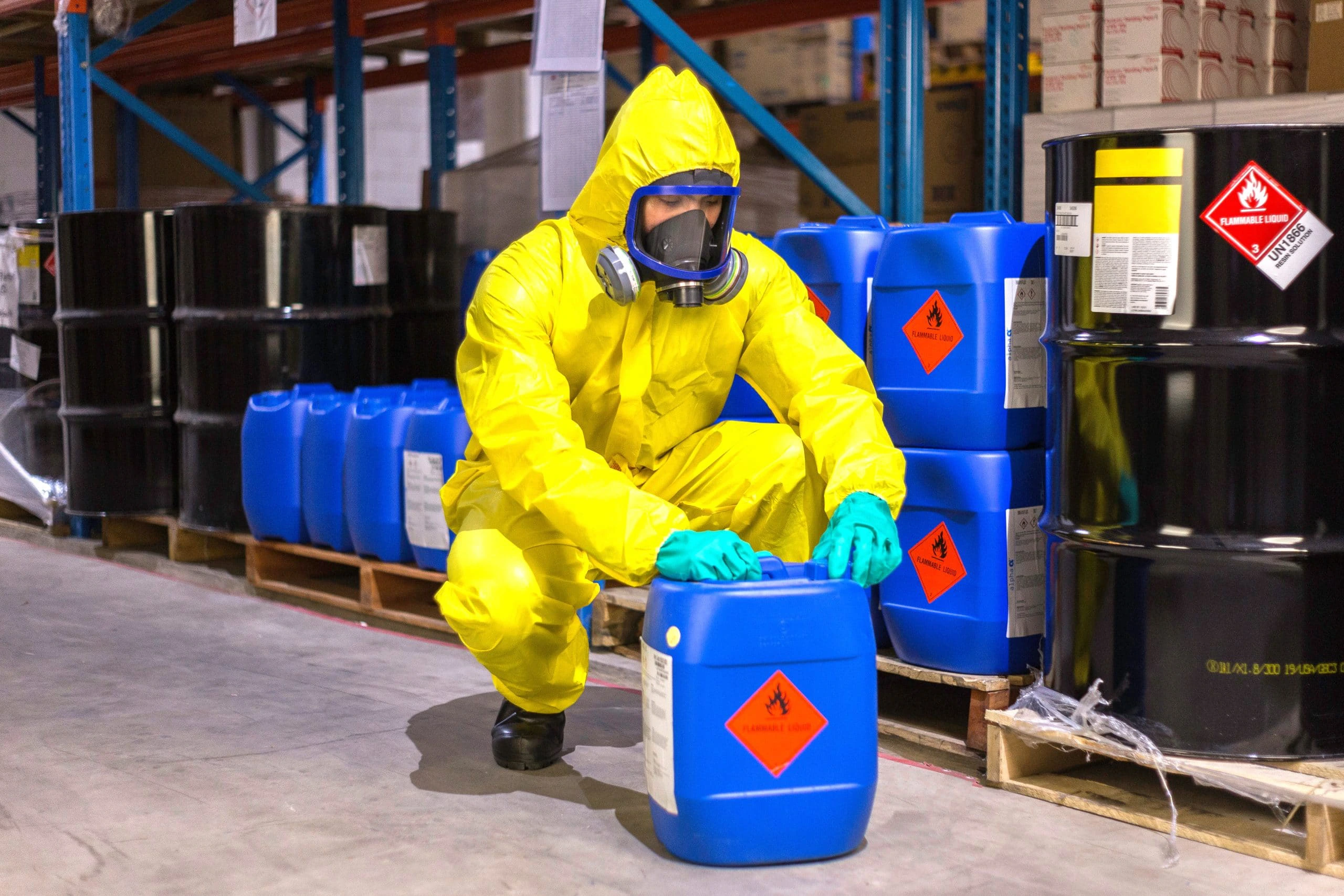
Chemical Safety and Certification
Chemical safety and certification are critical in ensuring the safe management of products and proce...
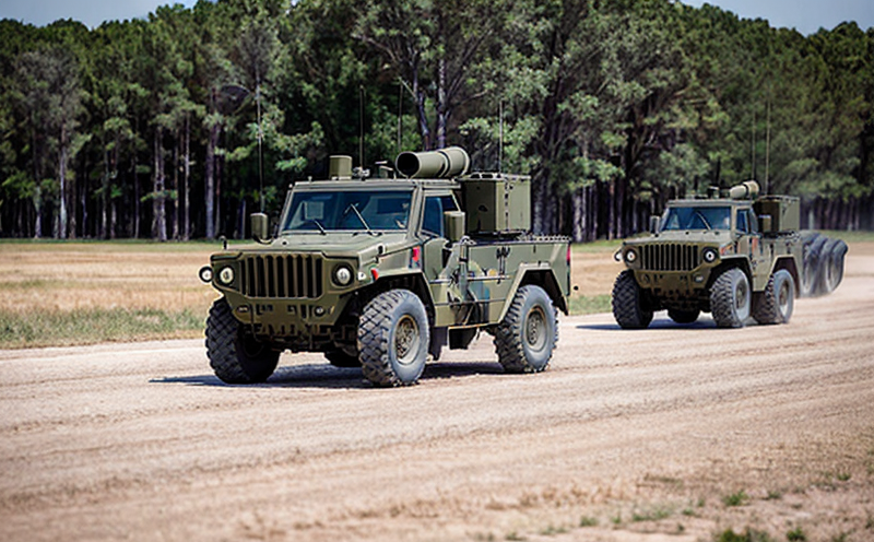
Military Equipment Standards
Military Equipment Standards: Ensuring Effectiveness and Safety The use of military equipment is a ...

Hospitality and Tourism Certification
Hospitality and Tourism Certification: Unlocking Opportunities in the Industry The hospitality and ...

Fire Safety and Prevention Standards
Fire Safety and Prevention Standards: Protecting Lives and Property Fire safety and prevention stan...

Electromechanical Safety Certification
Electromechanical Safety Certification: Ensuring Compliance and Protecting Lives In todays intercon...
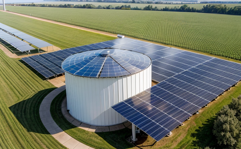
Renewable Energy Testing and Standards
Renewable Energy Testing and Standards: Ensuring a Sustainable Future The world is rapidly transiti...
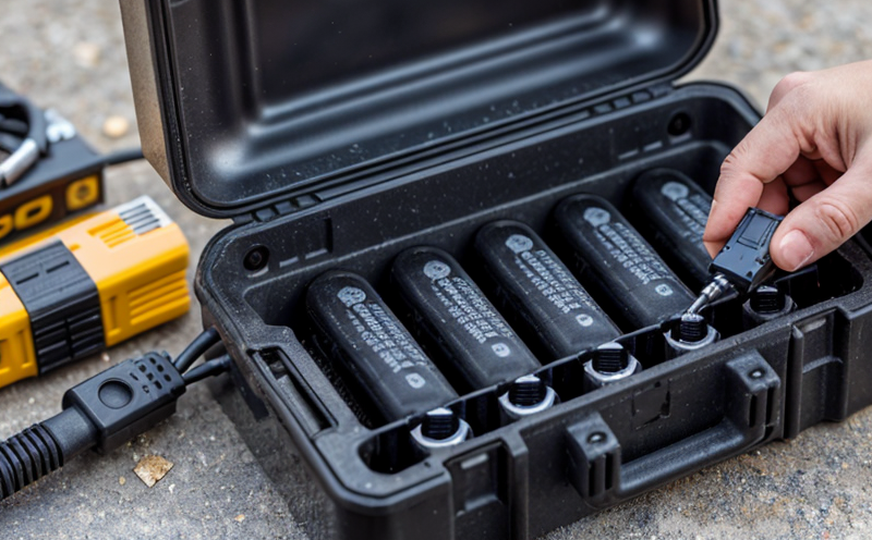
Battery Testing and Safety
Battery Testing and Safety: A Comprehensive Guide As technology continues to advance, battery-power...
Environmental Simulation Testing
Environmental Simulation Testing: A Comprehensive Guide In todays world, where technology is rapidl...
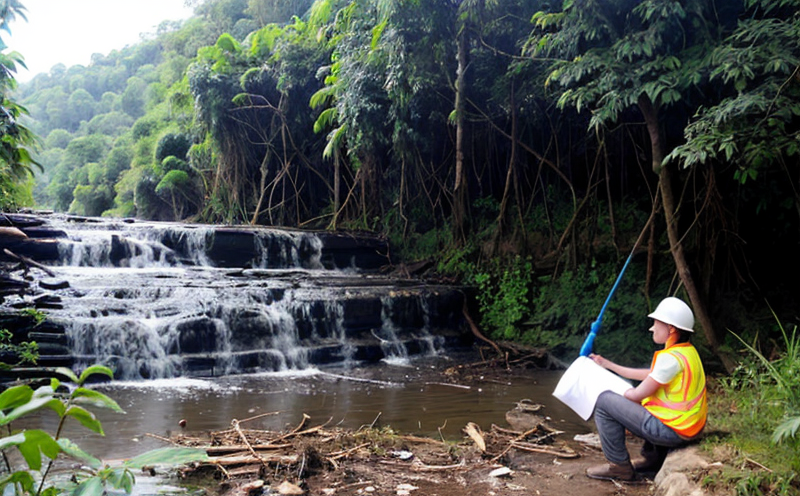
Environmental Impact Assessment
Environmental Impact Assessment: A Comprehensive Guide Environmental Impact Assessment (EIA) is a c...

Aviation and Aerospace Testing
Aviation and Aerospace Testing: Ensuring Safety and Efficiency The aviation and aerospace industr...
Industrial Equipment Certification
Industrial equipment certification is a critical process that ensures industrial equipment meets spe...

Cosmetic Product Testing
The Complex World of Cosmetic Product Testing The cosmetics industry is a multi-billion-dollar ma...

Automotive Compliance and Certification
Automotive Compliance and Certification: Ensuring Safety and Efficiency The automotive industry is ...

MDR Testing and Compliance
MDR Testing and Compliance: A Comprehensive Guide The Medical Device Regulation (MDR) is a comprehe...
Lighting and Optical Device Testing
Lighting and Optical Device Testing: Ensuring Performance and Safety Lighting and optical devices a...

Energy and Sustainability Standards
In today’s rapidly evolving world, businesses face increasing pressure to meet global energy a...

Construction and Engineering Compliance
Construction and Engineering Compliance: Ensuring Safety, Quality, and Regulatory Adherence In the ...

Product and Retail Standards
Product and Retail Standards: Ensuring Quality and Safety for Consumers In todays competitive marke...

Healthcare and Medical Devices
The Evolution of Healthcare and Medical Devices: Trends, Innovations, and Challenges The healthcare...

Agricultural Equipment Certification
Agricultural equipment certification is a process that ensures agricultural machinery meets specific...

Transportation and Logistics Certification
Transportation and Logistics Certification: A Comprehensive Guide The transportation and logistics ...

Pharmaceutical Compliance
Pharmaceutical compliance refers to the adherence of pharmaceutical companies and organizations to l...

Food Safety and Testing
Food Safety and Testing: Ensuring the Quality of Our Food As consumers, we expect our food to be sa...
Electrical and Electromagnetic Testing
Electrical and Electromagnetic Testing: A Comprehensive Guide Introduction Electrical and electrom...

Trade and Government Regulations
Trade and government regulations play a vital role in shaping the global economy. These regulations ...
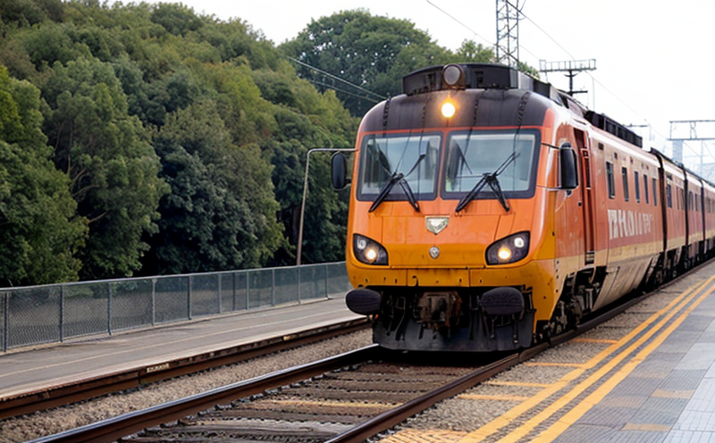
Railway Industry Compliance
Railway Industry Compliance: Ensuring Safety and Efficiency The railway industry is a critical comp...