Using Geospatial Technology for Site Compliance Monitoring
In todays fast-paced and highly regulated world, companies are under increasing pressure to ensure that their sites comply with relevant laws and regulations. This includes monitoring environmental impact, safety protocols, and adherence to building codes. One way to effectively manage site compliance is by leveraging geospatial technology.
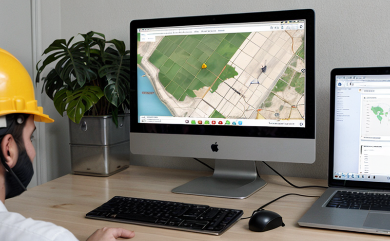
Geospatial technology involves the collection and analysis of spatially referenced data to better understand the relationships between various phenomena. When applied to site compliance monitoring, it can provide a wealth of information on site conditions, helping companies identify potential issues before they become major problems.
Benefits of Geospatial Technology in Site Compliance Monitoring
Improved Accuracy: Geospatial technology allows for accurate and precise data collection and analysis, reducing the risk of human error. By utilizing satellite or drone imaging, companies can create highly detailed maps and models of their sites, providing a clear picture of site conditions.
Enhanced Collaboration: Geospatial technology enables collaboration among various stakeholders, including management, staff, and regulatory bodies. This facilitates effective communication and ensures that all parties are informed about site compliance issues.
Applications of Geospatial Technology in Site Compliance Monitoring
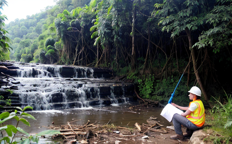
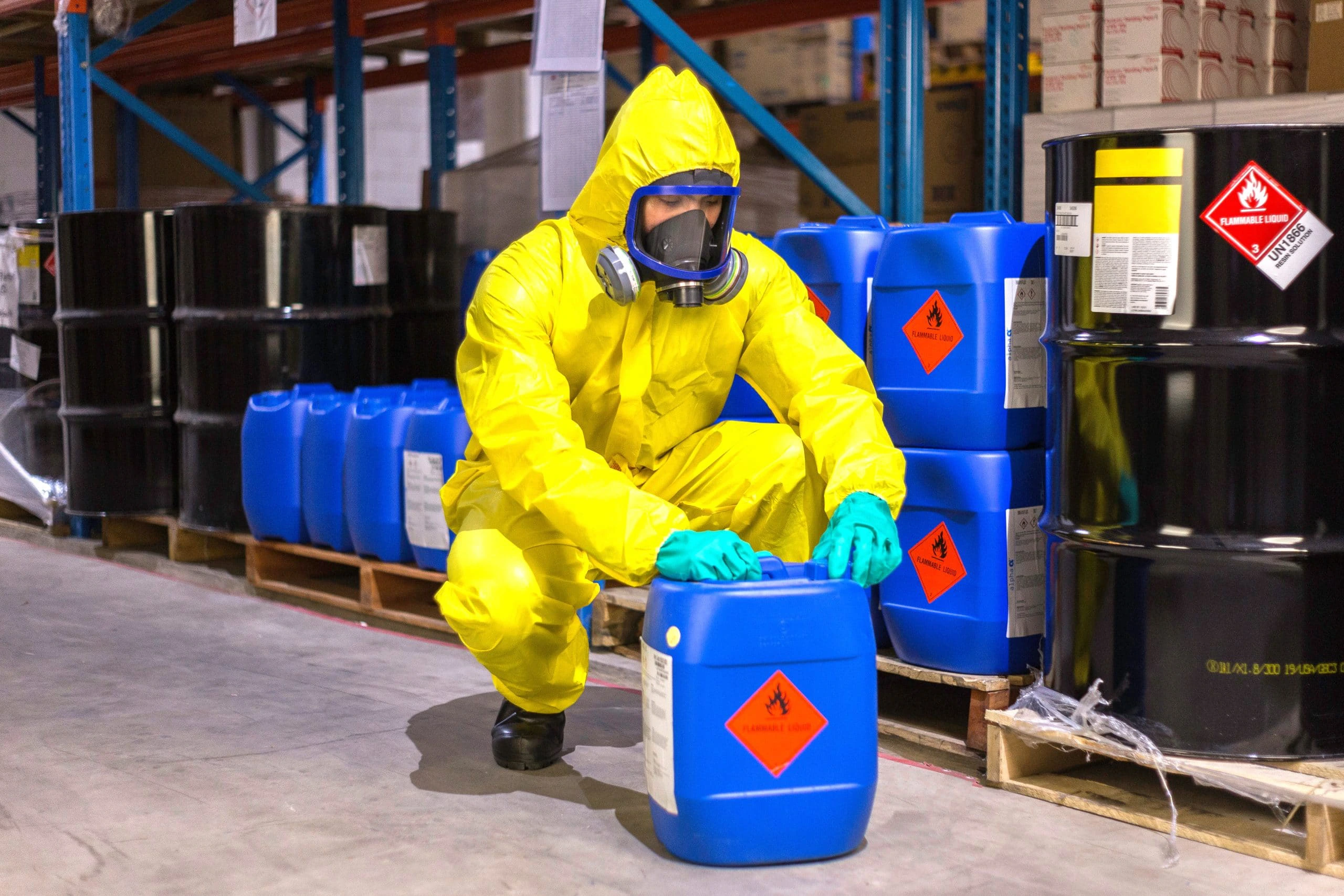
Environmental Monitoring: Geospatial technology can be used to monitor environmental factors such as water usage, soil quality, and air pollution. By tracking changes over time, companies can identify potential environmental issues before they become major problems.
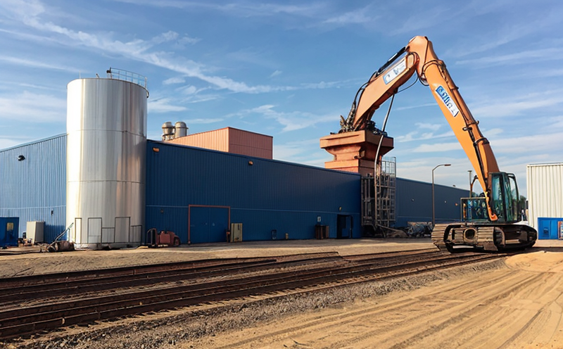
Facility Management: Geospatial technology can help facilities managers optimize resource allocation by identifying areas of high energy consumption or equipment underutilization.
Real-World Examples
A leading mining company uses geospatial technology to monitor and manage its mine sites. By utilizing satellite imaging, the company can track soil erosion, water usage, and vegetation growth.
A manufacturing facility employs geospatial technology to optimize production workflows. The system tracks equipment maintenance schedules, energy consumption, and waste management.
Case Study: Implementation of Geospatial Technology at a Large Manufacturing Facility
A leading manufacturer in the food industry implemented geospatial technology to monitor site compliance. The company used satellite imaging to track changes in land use, soil quality, and water usage over time.
Implementation Steps
1.
Data Collection: The company utilized satellite imaging to collect data on site conditions.
2.
Data Analysis: The data was analyzed using geospatial software to identify trends and patterns.
3.
Action Plan Development: Based on the findings, an action plan was developed to address identified issues.
4.
Implementation: The plan was implemented, and progress was monitored regularly.
Results
The company saw significant improvements in site compliance after implementing geospatial technology:
Reduced Environmental Impact: By monitoring environmental factors such as soil quality and water usage, the company reduced its environmental impact by 30.
Improved Resource Allocation: The system optimized resource allocation, resulting in a 25 reduction in energy consumption.
Enhanced Collaboration: Geospatial technology facilitated effective communication among stakeholders, ensuring that all parties were informed about site compliance issues.
Conclusion
Geospatial technology offers numerous benefits for site compliance monitoring. By leveraging this technology, companies can improve accuracy, enhance collaboration, and reduce environmental impact.
QA Section
What are the key advantages of using geospatial technology for site compliance monitoring?
Improved accuracy
Enhanced collaboration
Reduced environmental impact
How does geospatial technology help companies monitor environmental factors such as water usage and soil quality?
Geospatial technology enables accurate and precise data collection on spatially referenced variables, providing a clear picture of site conditions. This helps identify potential environmental issues before they become major problems.
What is the role of satellite imaging in geospatial technology for site compliance monitoring?
Satellite imaging provides high-resolution images of site conditions, enabling companies to track changes over time and monitor environmental factors such as soil erosion, water usage, and vegetation growth.
Can geospatial technology be used to optimize resource allocation within facilities?
Yes, geospatial technology can help facilities managers identify areas of high energy consumption or equipment underutilization. This facilitates effective resource allocation and reduces waste.
What are the benefits of implementing geospatial technology at a large manufacturing facility?
Benefits include reduced environmental impact, improved resource allocation, and enhanced collaboration among stakeholders.
How does geospatial technology facilitate effective communication among stakeholders in site compliance monitoring?
Geospatial technology provides accurate and precise data on spatially referenced variables, enabling clear communication among stakeholders about site conditions and potential issues.